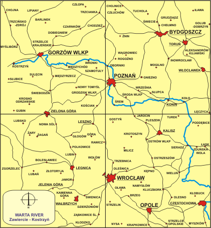
The Warta river as a regional waterway, 406.6 km long, of which 154.6 km (Konin-Lubon near Poznan) are of 1st A class, 183.8 km (Lubon near Poznan-Santok) are of 1st B class and 68.2 km (Santok-Odra River) are of 2nd class. It is used for shipping (Kanal Slesinski) having an inland connection via the Notec river and the Bydgoszcz Canal and further to the Wisla river.
The lower Warta, from the estuary of the Notec river to the Odra river is a 2nd class waterway, used by ships with draft not exceeding 1.30 m. By Lubon near Poznan shipping is still possible, but at the low-medium level of water maximum draft of 40-60 cm while 100 cm medium water depth of water level.
Nowadays the Warta on the most interesting section from Kostrzyn (the estuary of the Warta to the Odra) to estuary of Prosna river (348 km) requires urgent and complementing regulation. Within this sections are too sharp bends, often with radius of 250m which make shipping very hard, not to mention serious problems that can be encountered with spring ice movement. In the section between Biedrusk (224.8 km) and Radzim (216.3 km) there a gravel and clay river bed, but in the section from Owinsk (229.0) to Lubon (252.0) are stony shallows meaning any engineering works being hard to complete and consequently reducing river depth in considerable.
Nowadays there are no active ports on the Warta. The ports in Skwierzyna, Miedzychodzie and Orzechow are sludged and simply dead. Port in Poznan is dead and also loaded
wharf in Czerwonak and Lubon are not active. Only wharf in Gorzow Wielkopolski should be considered.